Área de identidad
Código de referencia
IE LMOD 438
Título
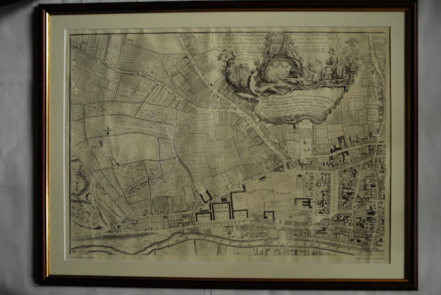
1756 John Roque Map of Dublin No. 1 (North West Dublin)
Fecha(s)
- Twentieth Century (Creación)
Nivel de descripción
Unidad documental simple
Volumen y soporte
Paper, ink. 52 x 72.5 cm
Área de contexto
Nombre del productor
Historia biográfica
Historia archivística
10/05/2011
Área de contenido y estructura
Alcance y contenido
Map of part of North West Dublin. Black and white map showing from part of the Phoenix Park to Smithfield, the Liffey to Cabra Lane. ‘An Exact Survey of the City and Suburbs of Dublin in Which is expressed the Ground Plot of all Publick buildings dwelling Houses, warehouses, stables, courts, yards’