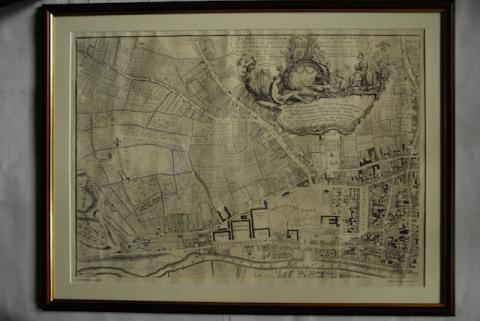
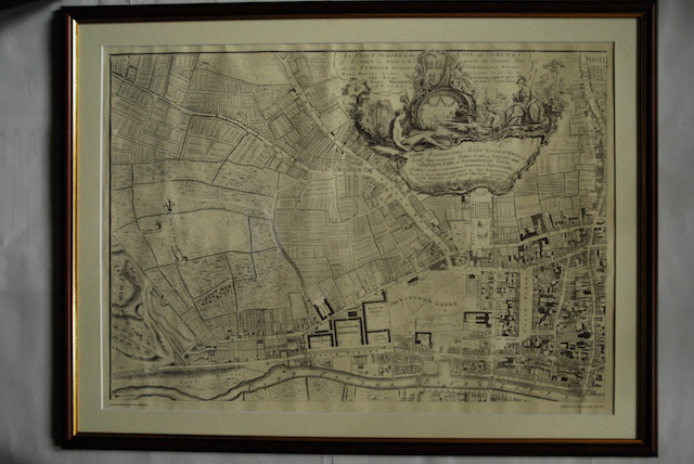
Item IE LMOD 438 - 1756 John Roque Map of Dublin No. 1 (North West Dublin)

Original Digital object not accessible

Identity area

Reference code

IE LMOD 438

Title

1756 John Roque Map of Dublin No. 1 (North West Dublin)

Date(s)

  • Twentieth Century (Creation)

Level of description

Item

Extent and medium

Paper, ink. 52 x 72.5 cm

Context area

Name of creator

Biographical history

Archival history

10/05/2011

Content and structure area

Scope and content

Map of part of North West Dublin. Black and white map showing from part of the Phoenix Park to Smithfield, the Liffey to Cabra Lane. ‘An Exact Survey of the City and Suburbs of Dublin in Which is expressed the Ground Plot of all Publick buildings dwelling Houses, warehouses, stables, courts, yards’
Appraisal, destruction and scheduling

Accruals

System of arrangement

Conditions governing access

Conditions governing reproduction

Language of material

    Script of material

      Language and script notes

      Physical characteristics and technical requirements

      Finding aids

      Allied materials area

      Existence and location of originals

      Existence and location of copies

      Related units of description

      Related descriptions

      Alternative identifier(s)

      Access points

      Subject access points

      Place access points

      Name access points

      Genre access points

      Description control area

      Description identifier

      Institution identifier

      Rules and/or conventions used

      Status

      Level of detail

      Dates of creation revision deletion

      Language(s)

        Script(s)

          Sources

          Digital object (External URI) rights area

          Digital object (Reference) rights area

          Digital object (Thumbnail) rights area

          Accession area