Identity area
Reference code
IE LMOD 438
Title
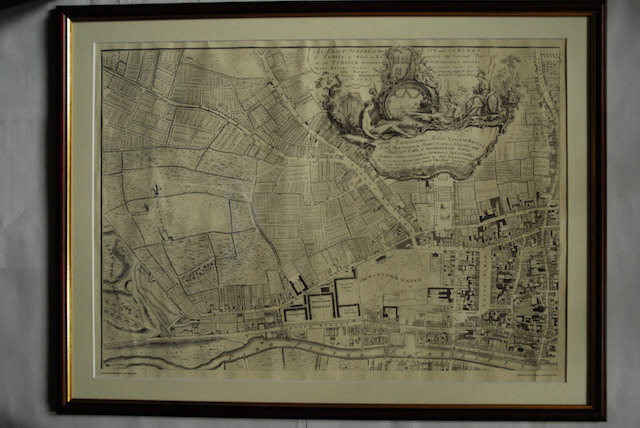
1756 John Roque Map of Dublin No. 1 (North West Dublin)
Date(s)
- Twentieth Century (Creation)
Level of description
Item
Extent and medium
Paper, ink. 52 x 72.5 cm
Context area
Name of creator
Biographical history
Archival history
10/05/2011
Content and structure area
Scope and content
Map of part of North West Dublin. Black and white map showing from part of the Phoenix Park to Smithfield, the Liffey to Cabra Lane. ‘An Exact Survey of the City and Suburbs of Dublin in Which is expressed the Ground Plot of all Publick buildings dwelling Houses, warehouses, stables, courts, yards’