
IE LMOD 437
·
Item
·
Twentieth Century
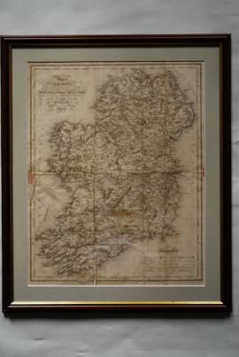
‘Map of Ireland divided into Provinces and Counties, showing the principal roads, railways, rivers and canals and the distance in Irish Miles and furlongs of each City and Post Town from Dublin.’ Map of Ireland for Lewis Atlas of Ireland, June 27th.
LMOD