Identity area
Reference code
IE LMOD 437
Title
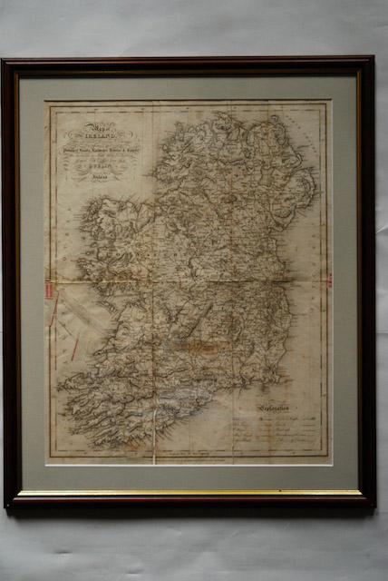
1837 Map of Ireland for Lewis Atlas of Ireland
Date(s)
- Twentieth Century (Creation)
Level of description
Item
Extent and medium
Paper, ink. 51 x 40.5 cm
Context area
Name of creator
Biographical history
Archival history
26/07/2011
Content and structure area
Scope and content
‘Map of Ireland divided into Provinces and Counties, showing the principal roads, railways, rivers and canals and the distance in Irish Miles and furlongs of each City and Post Town from Dublin.’ Map of Ireland for Lewis Atlas of Ireland, June 27th.
Appraisal, destruction and scheduling
Accruals
System of arrangement
Conditions governing access
Conditions governing reproduction
Language of material
Script of material
Language and script notes
Physical characteristics and technical requirements
Discolouring from age, creases from folding and some tears along the creases.