Zona de identificação
Código de referência
IE LMOD 325
Título
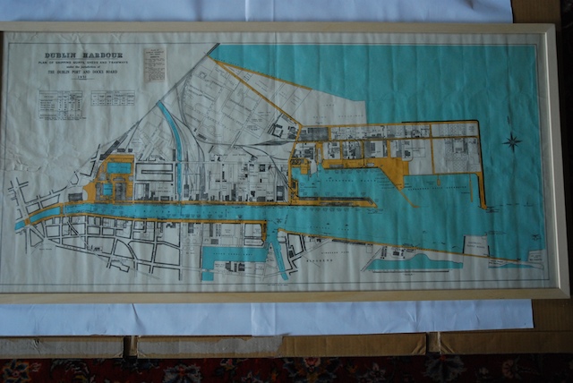
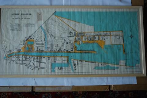
1951 Dublin Harbour Plan of Shipping Quays
Data(s)
- Twentieth Century (Produção)
Nível de descrição
Item
Dimensão e suporte
Paper, ink. 57 x 121 cm
Zona do contexto
Nome do produtor
História biográfica
História do arquivo
13/07/2011
Zona do conteúdo e estrutura
Âmbito e conteúdo
Partially coloured map of Dublin Port and the Liffey from Eden Quay and O'Connell Street out to sea. 'Dublin Harbour Plan of Shipping Quays, Sheds and Tramways Under the Jurisdiction of the Dublin Port and Docks Board 1951'
Dublin was a port before it was a city. This map shows the quays, sheds and tramways under the jurisdiction of the Dublin Port and Docks Board in 1951. At the time, ships unloaded much further up the Liffey – the port moved downstream with the advent of larger container ships.
Avaliação, selecção e eliminação
Ingressos adicionais
Sistema de arranjo
Condições de acesso
Condiçoes de reprodução
Idioma do material
Script do material
Notas ao idioma e script
Características físicas e requisitos técnicos
Lots of creases from folding.