Identity area
Reference code
IE LMOD 325
Title
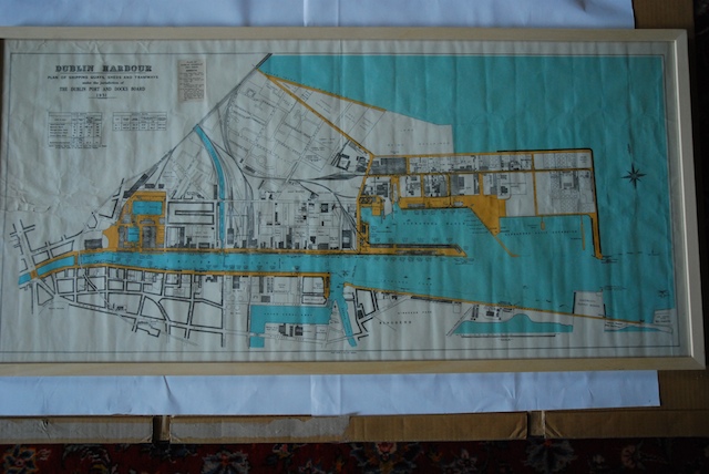
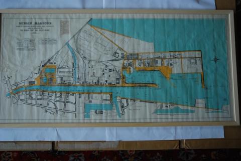
1951 Dublin Harbour Plan of Shipping Quays
Date(s)
- Twentieth Century (Creation)
Level of description
Item
Extent and medium
Paper, ink. 57 x 121 cm
Context area
Name of creator
Biographical history
Archival history
13/07/2011
Content and structure area
Scope and content
Partially coloured map of Dublin Port and the Liffey from Eden Quay and O'Connell Street out to sea. 'Dublin Harbour Plan of Shipping Quays, Sheds and Tramways Under the Jurisdiction of the Dublin Port and Docks Board 1951'
Dublin was a port before it was a city. This map shows the quays, sheds and tramways under the jurisdiction of the Dublin Port and Docks Board in 1951. At the time, ships unloaded much further up the Liffey – the port moved downstream with the advent of larger container ships.
Appraisal, destruction and scheduling
Accruals
System of arrangement
Conditions governing access
Conditions governing reproduction
Language of material
Script of material
Language and script notes
Physical characteristics and technical requirements
Lots of creases from folding.