Identificatie
referentie code
IE LMOD 325
Titel
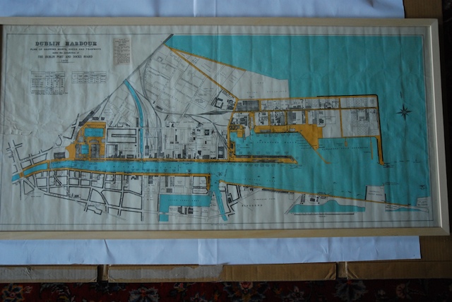
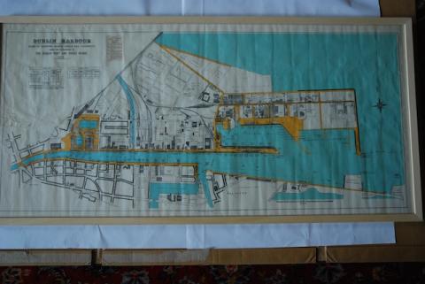
1951 Dublin Harbour Plan of Shipping Quays
Datum(s)
- Twentieth Century (Vervaardig)
Beschrijvingsniveau
Stuk
Omvang en medium
Paper, ink. 57 x 121 cm
Context
Naam van de archiefvormer
Biografie
Geschiedenis van het archief
13/07/2011
Inhoud en structuur
Bereik en inhoud
Partially coloured map of Dublin Port and the Liffey from Eden Quay and O'Connell Street out to sea. 'Dublin Harbour Plan of Shipping Quays, Sheds and Tramways Under the Jurisdiction of the Dublin Port and Docks Board 1951'
Dublin was a port before it was a city. This map shows the quays, sheds and tramways under the jurisdiction of the Dublin Port and Docks Board in 1951. At the time, ships unloaded much further up the Liffey – the port moved downstream with the advent of larger container ships.
Waardering, vernietiging en slectie
Aanvullingen
Ordeningstelsel
Voorwaarden voor raadpleging
Voorwaarden voor reproductie
Taal van het materiaal
Schrift van het materiaal
Taal en schrift aantekeningen
Fysieke eigenschappen en technische eisen
Lots of creases from folding.