Zone d'identification
Cote
IE LMOD 437
Titre
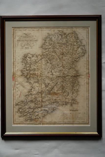
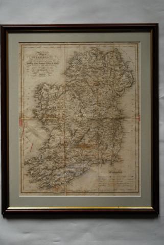
1837 Map of Ireland for Lewis Atlas of Ireland
Date(s)
- Twentieth Century (Création/Production)
Niveau de description
Pièce
Étendue matérielle et support
Paper, ink. 51 x 40.5 cm
Zone du contexte
Nom du producteur
Notice biographique
Histoire archivistique
26/07/2011
Zone du contenu et de la structure
Portée et contenu
‘Map of Ireland divided into Provinces and Counties, showing the principal roads, railways, rivers and canals and the distance in Irish Miles and furlongs of each City and Post Town from Dublin.’ Map of Ireland for Lewis Atlas of Ireland, June 27th.
Évaluation, élimination et calendrier de conservation
Accroissements
Mode de classement
Conditions d'accès
Conditions de reproduction
Langue des documents
Écriture des documents
Notes de langue et graphie
Caractéristiques matérielle et contraintes techniques
Discolouring from age, creases from folding and some tears along the creases.