Zona de identificação
Código de referência
IE LMOD 440
Título
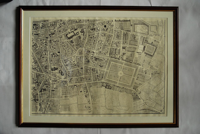
1756 John Rocque Map of Dublin No. 3 (South East Dublin)
Data(s)
- Twentieth Century (Produção)
Nível de descrição
Item
Dimensão e suporte
Paper, ink. 52 x 72.5 cm
Zona do contexto
Nome do produtor
História biográfica
História do arquivo
10/05/2011
Zona do conteúdo e estrutura
Âmbito e conteúdo
Map of part of South East Dublin. Shows from Wood Quay to New Street and from St. Stephen’s Green and Lower Coombe to Ballsbridge.