Identificatie
referentie code
IE LMOD 439
Titel
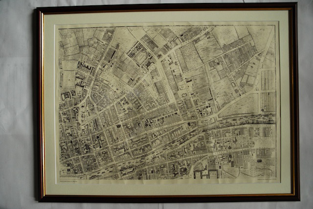
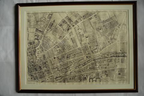
1756 John Rocque Map of Dublin No. 2 (North East Dublin)
Datum(s)
- Twentieth Century (Vervaardig)
Beschrijvingsniveau
Stuk
Omvang en medium
Paper, ink. 52 x 72.5 cm
Context
Naam van de archiefvormer
Biografie
Geschiedenis van het archief
10/05/2011
Inhoud en structuur
Bereik en inhoud
Map of part of North East Dublin. Shows from Trinity to summer Hill and Dorset Street and from King Street to The Strand.
Waardering, vernietiging en slectie
Reproduction.