Identity area
Reference code
IE LMOD 439
Title
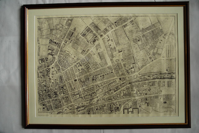
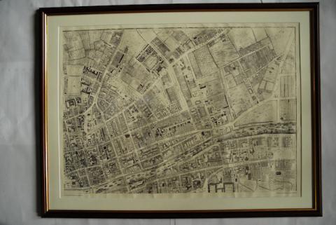
1756 John Rocque Map of Dublin No. 2 (North East Dublin)
Date(s)
- Twentieth Century (Creation)
Level of description
Item
Extent and medium
Paper, ink. 52 x 72.5 cm
Context area
Name of creator
Biographical history
Archival history
10/05/2011
Content and structure area
Scope and content
Map of part of North East Dublin. Shows from Trinity to summer Hill and Dorset Street and from King Street to The Strand.
Appraisal, destruction and scheduling
Reproduction.