Zone d'identification
Cote
IE LMOD 439
Titre
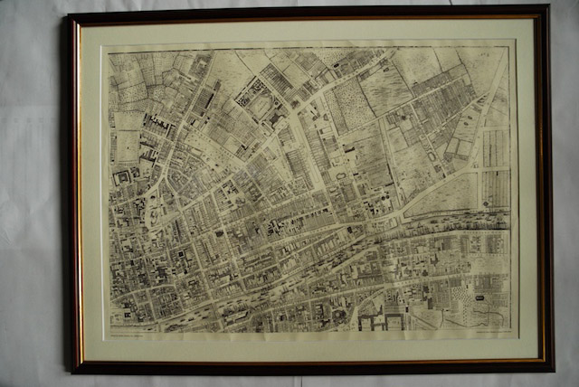
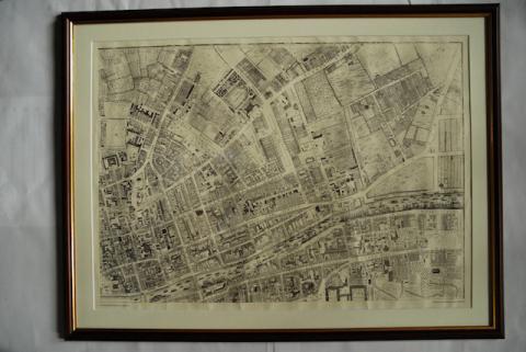
1756 John Rocque Map of Dublin No. 2 (North East Dublin)
Date(s)
- Twentieth Century (Création/Production)
Niveau de description
Pièce
Étendue matérielle et support
Paper, ink. 52 x 72.5 cm
Zone du contexte
Nom du producteur
Notice biographique
Histoire archivistique
10/05/2011
Zone du contenu et de la structure
Portée et contenu
Map of part of North East Dublin. Shows from Trinity to summer Hill and Dorset Street and from King Street to The Strand.
Évaluation, élimination et calendrier de conservation
Reproduction.