Área de identidad
Código de referencia
IE LMOD 439
Título
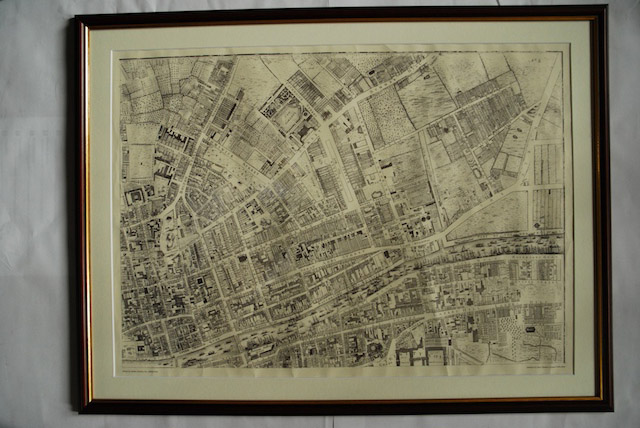
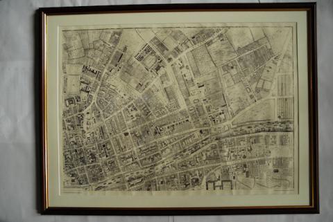
1756 John Rocque Map of Dublin No. 2 (North East Dublin)
Fecha(s)
- Twentieth Century (Creación)
Nivel de descripción
Unidad documental simple
Volumen y soporte
Paper, ink. 52 x 72.5 cm
Área de contexto
Nombre del productor
Historia biográfica
Historia archivística
10/05/2011
Área de contenido y estructura
Alcance y contenido
Map of part of North East Dublin. Shows from Trinity to summer Hill and Dorset Street and from King Street to The Strand.
Valorización, destrucción y programación
Reproduction.