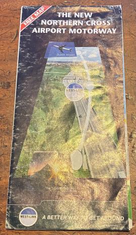
Foldout map of the West Link (M50) then called the New Northern Cross Airport Motorway
Sans titreMeasuring & Mapping
18 Description archivistique résultats pour Measuring & Mapping
Partially coloured map of Dublin Port and the Liffey from Eden Quay and O'Connell Street out to sea. 'Dublin Harbour Plan of Shipping Quays, Sheds and Tramways Under the Jurisdiction of the Dublin Port and Docks Board 1951'
Dublin was a port before it was a city. This map shows the quays, sheds and tramways under the jurisdiction of the Dublin Port and Docks Board in 1951. At the time, ships unloaded much further up the Liffey – the port moved downstream with the advent of larger container ships.
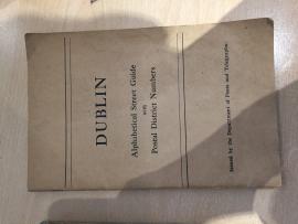
issued by the department of Posts and Telegraphs
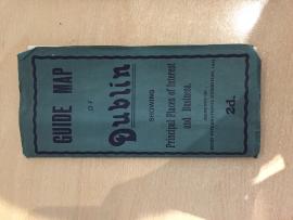
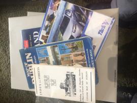
Sans titrePlaces of interest and historical notes about Dublin
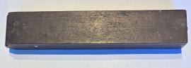
Sans titreSmall set of scales for weighing coins. Part of weighing mechanism missing. Folds up and closes as a small wooden box - press small button to open clasp. Set of instructions on paper glued to inside of box. Instructions read "Both turns towards the centre for a seven shillings piece; the small turn thrown back for half a guinea, and both turns back for a guinea, with the slide at the cypher. The turns for a half sovereign same as a half guinea, with slide at 1/2 S;- and the turns for a sovereign same as a guinea, with the slide at S." Made by Stephen Houghton and Co., Makers, Ormskirk, Successors to A. Wilkinson.
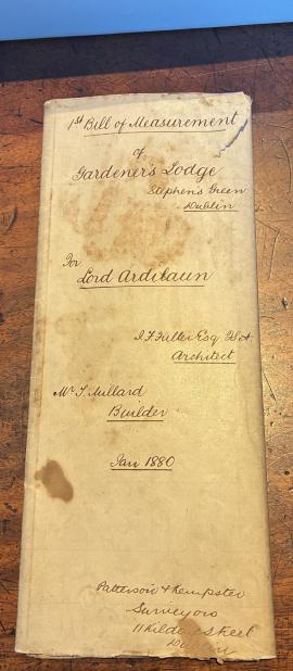
Sans titreLarge envelope containing folded paper plans of gardener's lodge
Sans titreYellow leaflet with map of travel routes to get to Phoenix Park for Pope John Paul II's mass
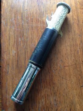
Sans titreOne tubular ivory and chrome Otis King calculator
Sans titreA variety of Dublin and Irish maps
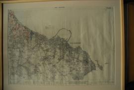
Sans titreDublin Sheet 23 (Revisions 1936 - 1937). Compiled and printed by the Ordinance Survey Department and published by the Director at the Ordinance Survey Office, Phoenix Park, Dublin. Largely black and white map.
Sans titre